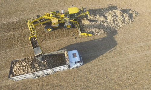
AGRICULTURE
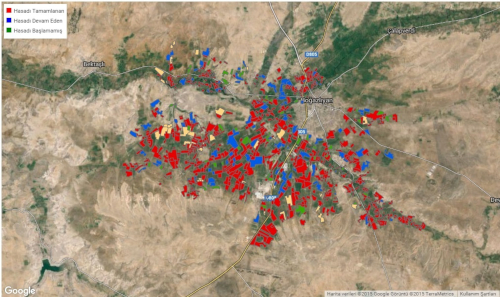
ALTOY, offers following services using remote sensing technologies, image processing techniques, and geographical information systems.
- BASIC FUNCTIONS
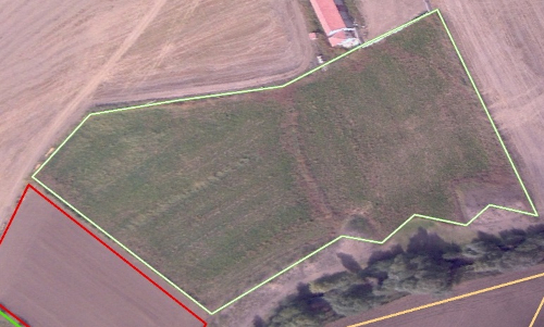
- - Field Utilization and Border Detection
- - Vegetation Inventory
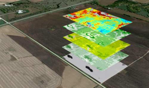
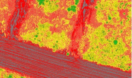
- - Vegetation Stress Mapping
- - Crop Estimation
- - Harvest Monitoring
- ADVANCED FUNCTIONS
- - Crop Detection
- - Determination of Irrigation and Fertilization Requirements
- - Determination of Spraying Requirements
- - Risk Analysis and Damage Assessment
- DISEASE CLASSIFICATION
- - VirUs
- - Fungal
- - Nematode
- - Bacterial
ENERGY
ALTOY offers following services for energy sector using remote sensing technologies, image processing techniques, and geographical information systems.
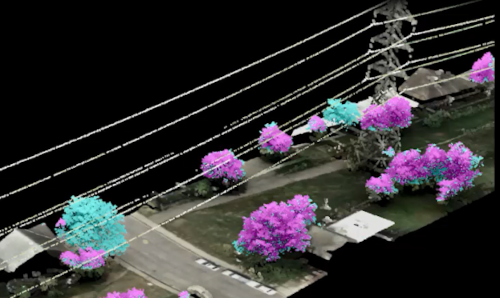
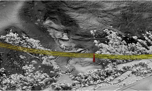
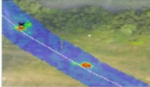
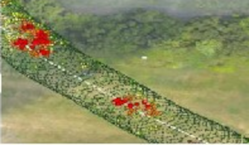
- - Modeling and analysis of transmission lines (electricity, oil, natural gas, etc.) and the terrain along transmission lines using LIDAR (Laser Imaging Detection and Ranging) and high-resolution cameras,
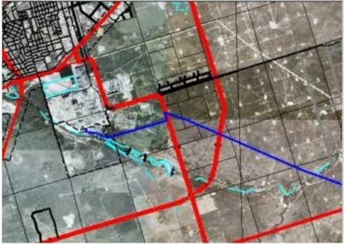
- - Digitization and transfer of transmission lines to geographical information systems,
- - Identification and analysis of the risks posed for the transmission lines stemming from meteorological conditions,
- - Post-disaster damage assessment,
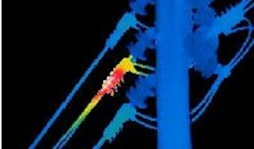
- - Detection of weak points in power lines due to overheating using thermal imaging techniques,
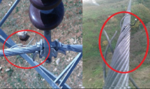
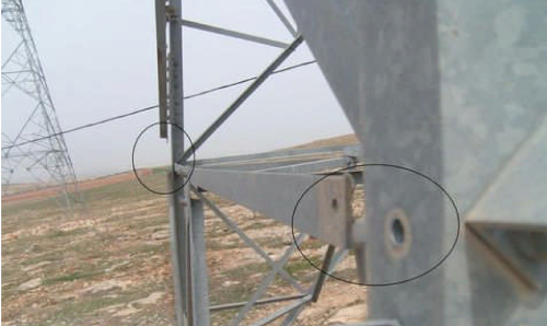
- - Detection of weak spots (broken fibers, broken insulators, etc.) in power transmission lines using high-resolution images,
- - Detection of leaks in pipelines using thermal imaging.
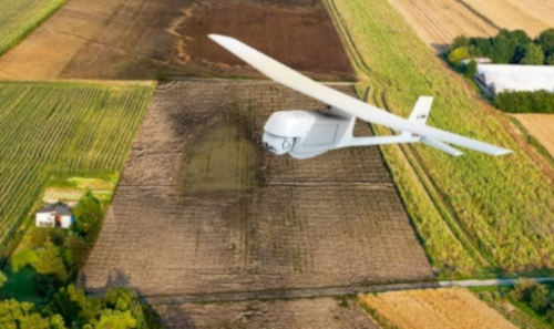
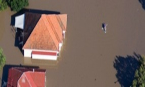
SECURITY
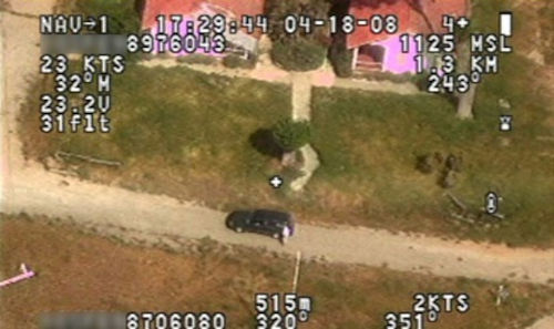
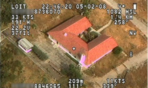
- - Reconnaissance and surveillance with unmanned aerial systems which can remain in the air in bad weather, day, and night,
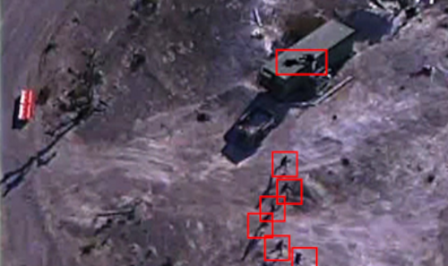
- - Target locking and tracking moving targets,
- - Identification of plants such as jute and opium with multispectral cameras,
- - Support to search and rescue operations.